

1.0 INTRODUCTION
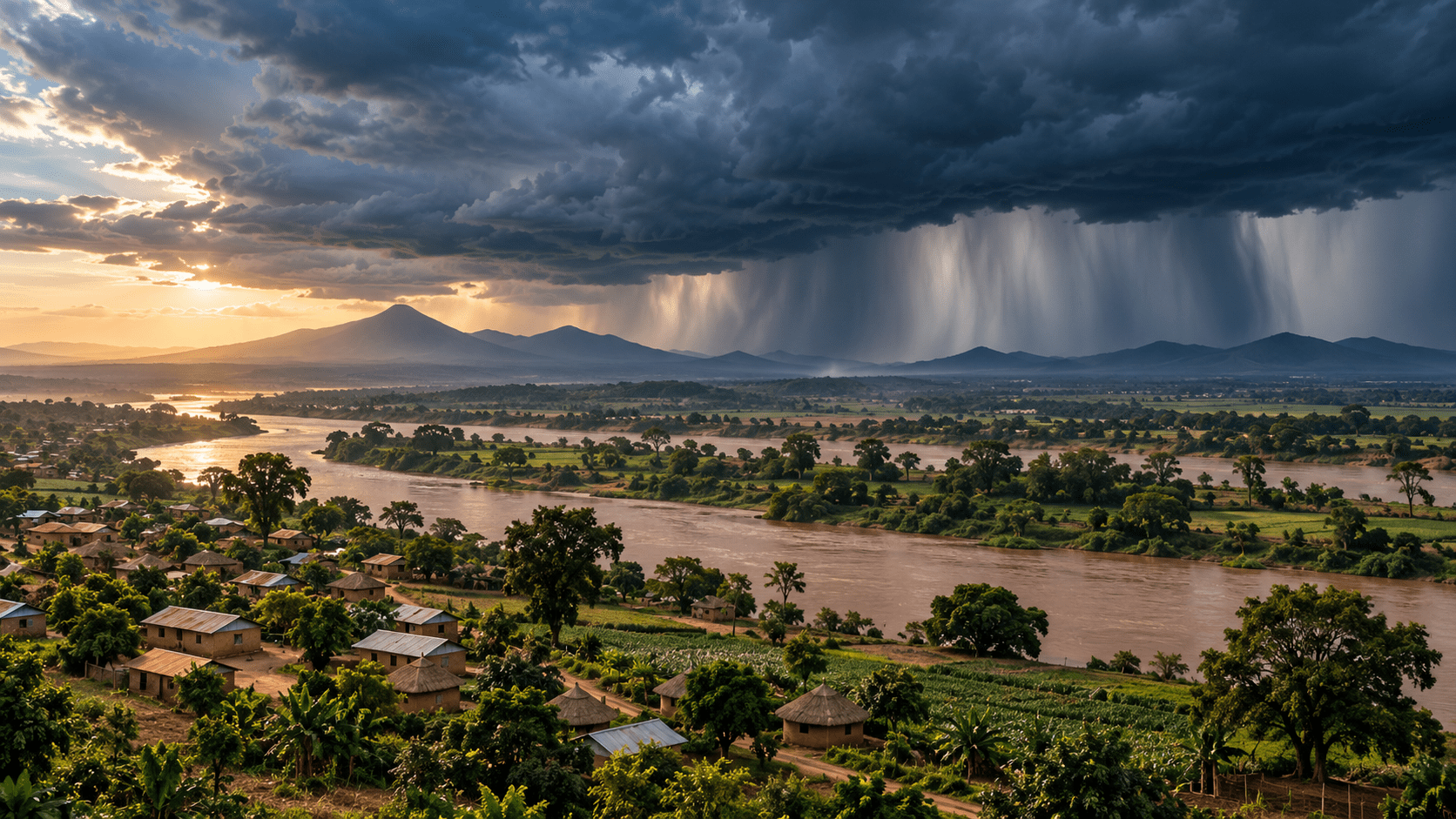
Greater Eastern Africa is entering the final quarter of 2026 with a clear climate signal: El Niño is firmly established, expected to intensify, and forecast to persist into early 2027. (WMO, 2026a) ICPAC gives a 90% probability of enhanced rainfall across southern Ethiopia, central-to-southern Somalia and north-eastern Kenya, while parts of central and southern Somalia, central Kenya, the Lake Victoria Basin, Burundi, western Rwanda and western Tanzania face a high likelihood of rainfall exceeding 400 millimetres. (ICPAC, 2026a). The season can replenish pasture and water resources, but excessive rainfall also raises risks of flooding, infrastructure damage, crop losses and disease (WMO, 2026b). Displacement modelling identifies Somalia, Kenya, South Sudan and Uganda as exposed to substantial flood-related movement, reaching three million people only under the model’s worst-case scenario (Danish Refugee Council, 2026). Regional reporting shows governments moving towards preparedness and early-action measures (The East African, 2026). Against this backdrop, the purpose of this commentary is to examine whether climate adaptation and disaster-risk reduction systems across Greater Eastern Africa can convert increasingly precise forecasts into timely, coordinated action before rainfall becomes a crisis.
2.0 KEY ISSUES
2.1 Warning Capacity Is Advancing Faster Than Preparedness

The regional problem is the gap between warning and preparedness. WMO reports that El Niño is firmly established, expected to strengthen further, and has a near 100% probability of persisting through February 2027 (WMO, 2026a). ICPAC’s OND outlook gives a 90% chance of enhanced rainfall over southern Ethiopia, central-to-southern Somalia and north-eastern Kenya (ICPAC, 2026a). Its forum brings together institutions from ten Greater Horn countries (ICPAC, 2026b). Yet national authorities remain responsible for converting regional forecasts into local warnings, contingency decisions and operational deployments (WMO, 2026b). Reporting from Kenya already shows evacuation mapping and contingency planning underway before the rains begin (The East African, 2026). The central exposure is therefore institutional timing: a forecast has preventive value only when the agencies responsible for timely action can move before rainfall, river levels, and population movements cross emergency thresholds.
2.2 Rainfall Benefits and Disaster Exposure Are Geographically Uneven
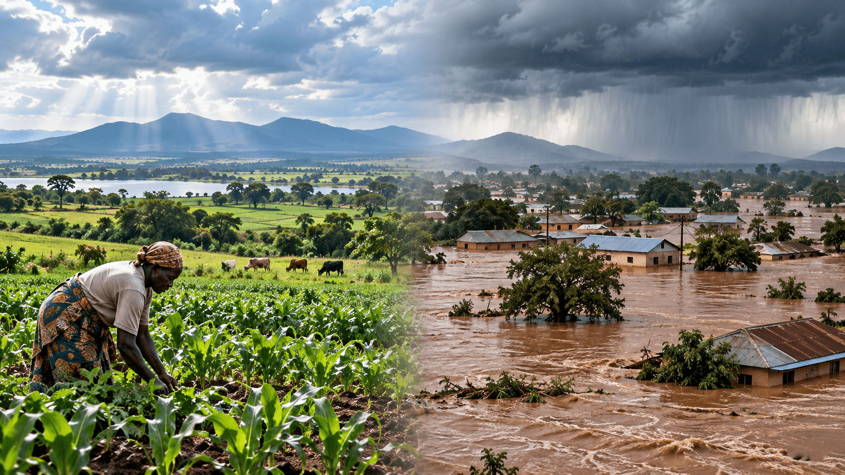
The coming rainfall season presents a distributional risk, not a uniform hazard. ICPAC forecasts wetter-than-normal conditions across much of the equatorial and southern Greater Horn with spatial variation in rainfall intensity and onset (ICPAC, 2026a). WMO notes that OND rainfall contributes up to 70% of annual rainfall in parts of Ethiopia, Kenya and Somalia and up to 40% in parts of Rwanda, Burundi, Tanzania and Uganda (WMO, 2026b). The same rainfall can replenish pasture while overwhelming soils, rivers and infrastructure (ICPAC, 2026b). FEWS NET identifies flood exposure along major river systems and vulnerable agricultural areas in the eastern Horn (FEWS NET, 2026a).Regional reporting describes El Niño as offering relief while creating disaster risk (The East African, 2026). Above-average rainfall is neither inherently beneficial nor destructive; consequences depend on geography, timing, intensity, and exposure.
2.3 Flood Displacement Can Redistribute Regional Vulnerability
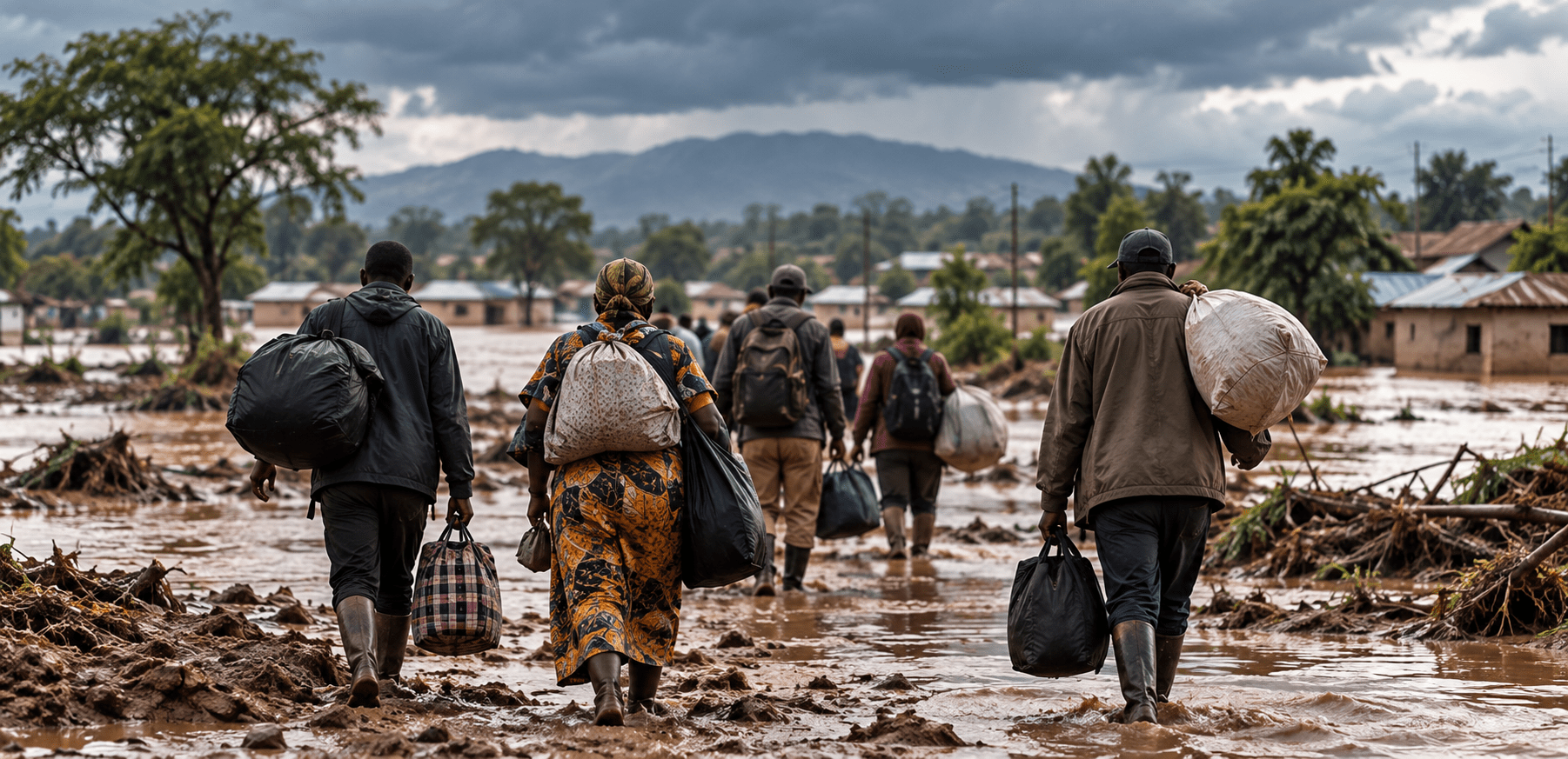
Flooding becomes a regional governance problem when consequences move with people, livestock, markets and services. The Danish Refugee Council models flood-related displacement of 750,000 to three million people across Somalia, Kenya, South Sudan and Uganda, with three million representing its most severe scenario rather than a forecast (Danish Refugee Council, 2026). ICPAC identifies displacement, livelihood disruption, infrastructure damage and health risks from excessive rainfall (ICPAC, 2026b). Somalia faces particular exposure because the Deyr rains can replenish water and pasture while increasing riverine and flash-flood risks (FAO, 2026).Regional experience shows that flood displacement can recur before affected households recover from previous shocks(The East African, 2026). WMO emphasises that locally applicable information must flow from regional centres to national services and decision-makers (WMO, 2026b). Movement from flooded areas transfers humanitarian and resource pressures into already-stressed communities.
2.4 Regional Climate Information Remains Institutionally Fragmented
Greater Eastern Africa has a regional climate-information architecture, but information producers and resource controllers operate through different mandates.ICPAC provides regional forecasts and is designated by WMO as a Regional Climate Centre, while national meteorological services remain authoritative for country-specific warnings(ICPAC, 2026a). WMO is explicitly urging governments and humanitarian agencies to use reliable forecasts for early action(WMO, 2026a). Kenya has begun mapping high-risk areas and preparing evacuation measures, moving information towards operational readiness(The East African, 2026). FAO has similarly identified a preparedness window for Somalia ahead of the Deyr season(FAO, 2026). The challenge is coordination. Forecasts, hydrological information, disaster plans, financing and local response capacity do not form one coherent operational chain across borders. The remaining gap is therefore institutional: synchronising information, authority and resources before a shared signal becomes multiple regional emergencies.
3.0 CONCLUSION
Greater Eastern Africa enters the final quarter of 2026 with a strong warning signal and uneven readiness for disaster preparedness. El Niño is strengthening, while ICPAC forecasts wetter-than-normal conditions across equatorial and southern areas. The same rainfall can restore pasture and water yet produce floods, crop losses, infrastructure damage and disease. Population movement can then transmit pressure into communities already exposed to climate and resource stress. The weakness is not absent information, but its incomplete conversion into synchronised decisions, financing and local action. Adaptation and disaster-risk reduction therefore converge around one institutional test: whether regional systems can act early enough to turn forecast certainty into less exposure before the 2026–2027 climate shock unfolds.
4.0 POLICY RECOMMENDATIONS
4.1 Regional Forecasts Should Trigger Common Preparedness Thresholds
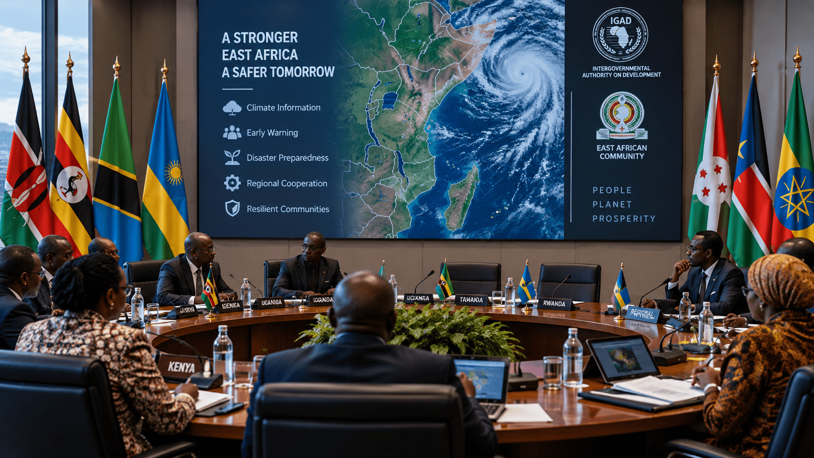
IGAD,ICPAC and national meteorological and disaster-management authorities should establish a shared El Niño preparedness protocol for the October–December 2026 season.ICPAC should issue common thresholds for extreme rainfall, river flooding and cumulative precipitation, while national services translate them into country-specific warnings. Disaster authorities should attach predefined actions to each threshold, including evacuation readiness, shelter activation, emergency logistics and contingency-finance release. IGAD should maintain a regional dashboard recording alerts, exposed districts, institutional actions, and unresolved gaps. Weekly coordination should review threshold changes and implementation across affected states. This mechanism would connect regional forecasting to national decisions before rainfall peaks, reduce gaps between warning and response, and provide an auditable record of whether credible forecasts generated timely preparedness across the region.
4.2 Adaptation Planning Should Differentiate Rainfall Benefits From Hazards
National agriculture, water, livestock and disaster-management authorities should use ICPAC forecasts to distinguish areas where additional rainfall supports recovery from those facing acute flood exposure. Agricultural agencies should map expected gains in pasture, soil moisture and water availability, while disaster authorities identify floodplains, river corridors and exposed settlements. County and district administrations should align water harvesting, livestock support, drainage clearance, crop planning and emergency readiness with these differentiated zones. ICPAC should provide weekly updates on rainfall distribution and heavy-rainfall probabilities.This will asssit agencies to revise actions as conditions evolve. This approach would prevent a uniform regional response from obscuring local differences, allowing adaptation to capture rainfall benefits while disaster-risk reduction addresses locations where intensity, saturation and river overflow create immediate hazards.
4.3 Flood Preparedness Should Incorporate Population Movement
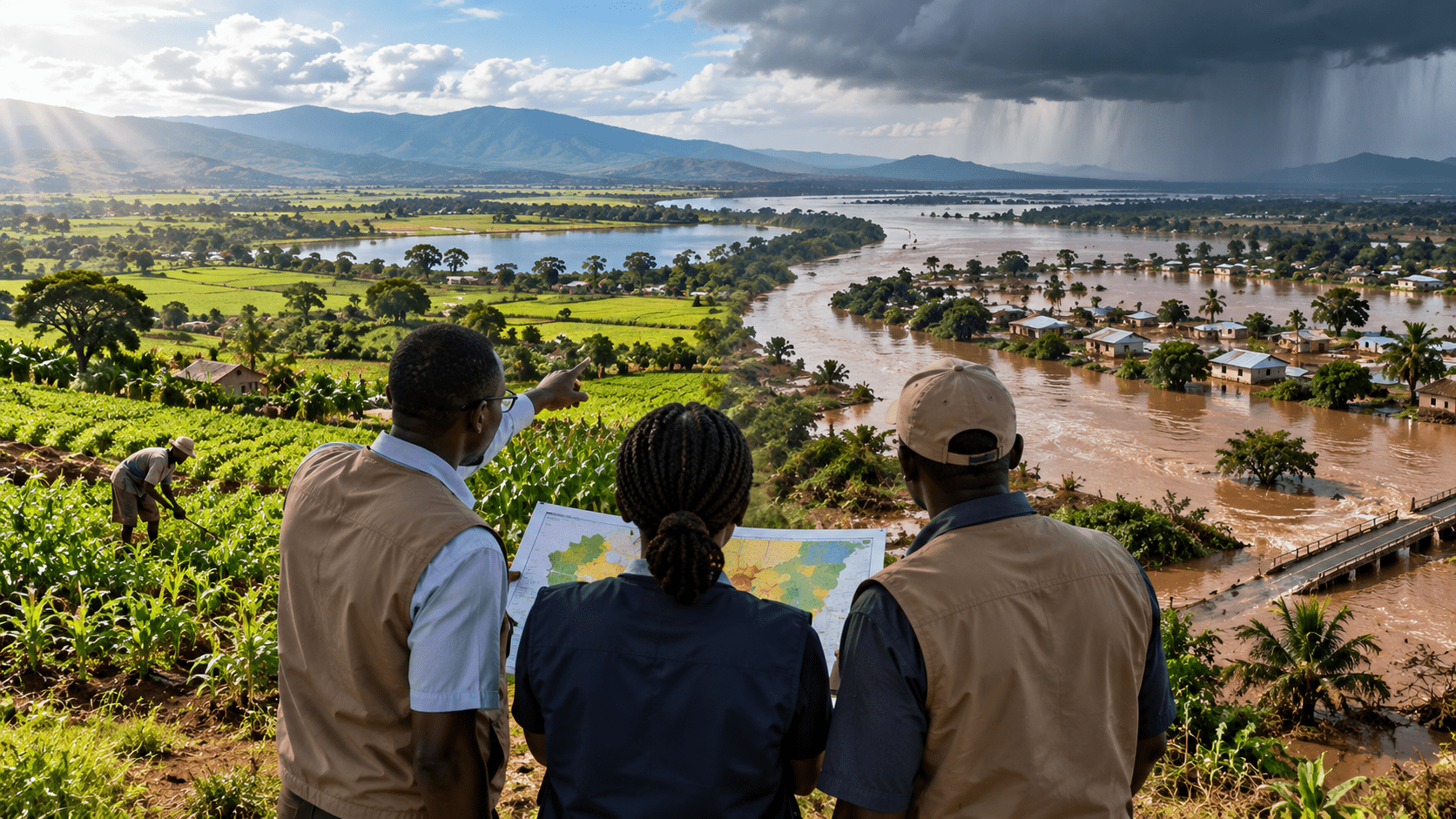
IGAD, national disaster-management authorities, IOM, UNHCR and affected local administrations should incorporate population movement into El Niño flood contingency planning. Forecasts should identify areas where flooding intersects with settlements, livestock routes, transport corridors and existing displaced populations. Local authorities should pre-position reception, water, health and protection services in locations identified through joint risk mapping, while cross-border mechanisms should share information on major population movements. IOM and national authorities should maintain comparable displacement reporting so emerging movements can be distinguished from longer-term displacement trends. IGAD should use these data to identify regional pressure points requiring coordinated humanitarian and administrative action. Treating mobility as a foreseeable flood consequence would allow receiving areas to prepare adequately before displacement becomes an additional regional emergency.
4.4 Climate Finance Should Follow Forecast-Based Risk Priorities
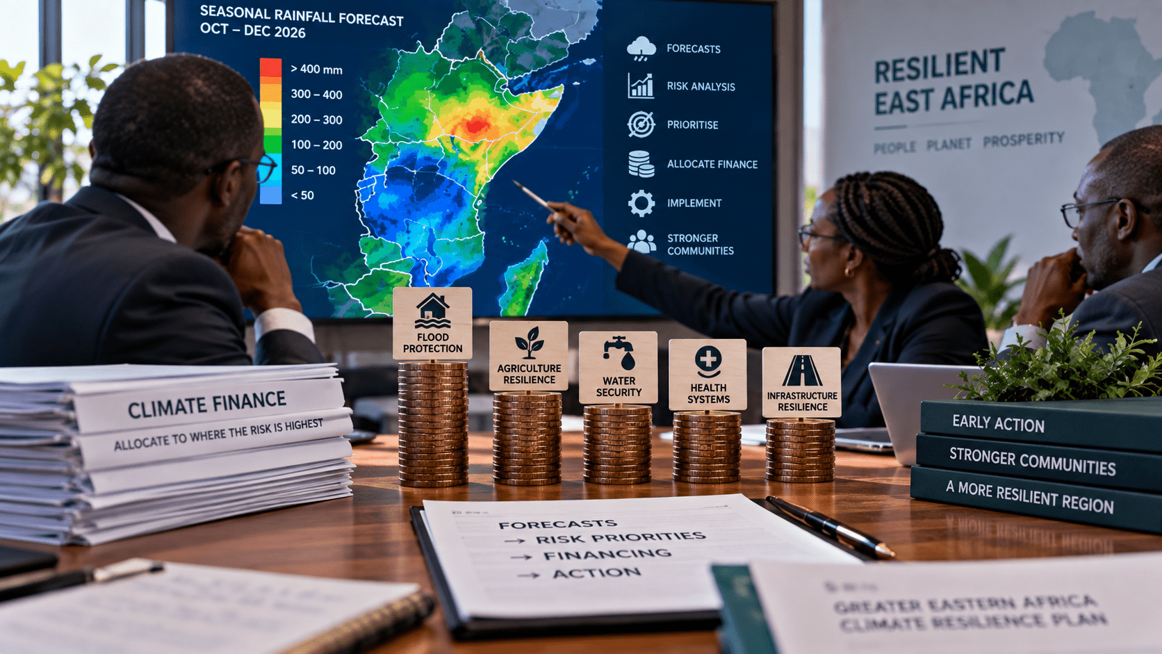
National treasuries, environment ministries, disaster-management authorities and development partners should align adaptation and contingency financing with forecast risk before the October–December season peaks. Governments should establish pre-approved expenditure categories for flood preparedness, drainage, emergency logistics, health protection, livestock support and early recovery, with release conditions linked to verified climate and hydrological thresholds. Development partners should use the same risk categories when allocating anticipatory finance, while IGAD should maintain a regional financing map showing national and cross-border gaps. Auditable records should distinguish funds committed, released, and spent before impacts occur. This would shift financing from predominantly post-disaster reconstruction towards forecast-based risk reduction, enabling existing resources to protect exposed communities and assets while retaining flexibility for rainfall outcomes that differ across localities.
5.0 REFERENCES
Danish Refugee Council. (2026, August 25). El Niño to supercharge East Africa flooding: 3 million displaced by end of year in worst-case scenario.
Food and Agriculture Organization of the United Nations. (2026). Somalia: El Niño and Deyr season preparedness and response.
Famine Early Warning Systems Network. (2026). East Africa seasonal monitor.
IGAD Climate Prediction and Applications Centre. (2026a, August 18). The Greater Horn of Africa is expected to experience a wetter-than-normal October–December (OND) 2026 season as El Niño strengthens.
IGAD Climate Prediction and Applications Centre. (2026b). Technical statement from the 74th Greater Horn of Africa Climate Outlook Forum.
The EastAfrican. (2026, August 20). IGAD warns of El Niño risks as Horn of Africa braces for heavy rains.
World Meteorological Organization. (2026a, September 3). El Niño set to become very strong, raising risks of extreme weather into 2027.
World Meteorological Organization. (2026b, August 19). El Niño impacts Greater Horn of Africa.