1.0 Introduction
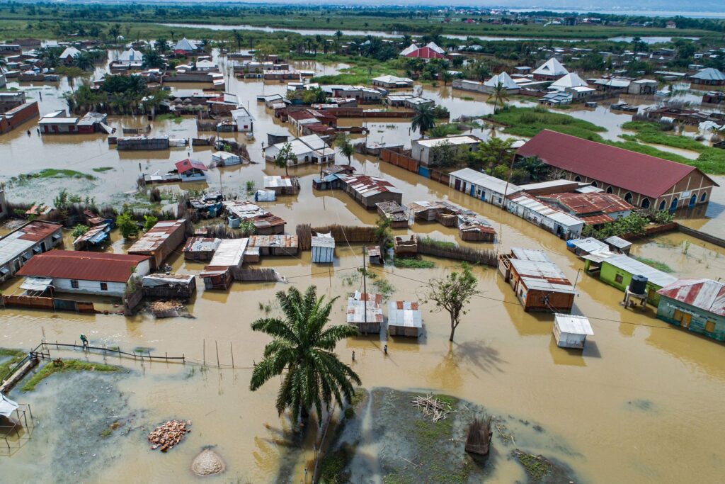
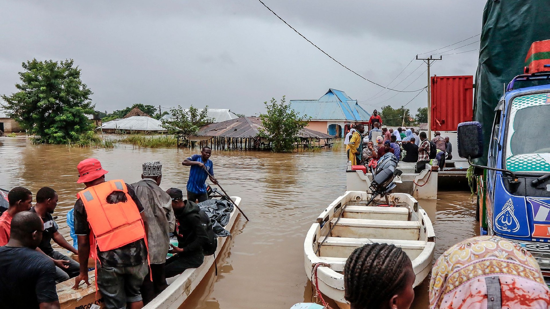
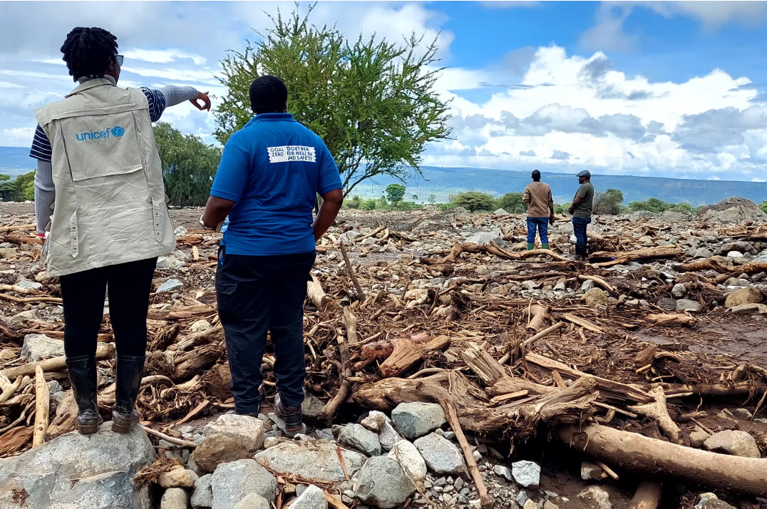
The recent flooding events and heavy rainfall in East Africa (EA), particularly in Kenya and Tanzania, have destroyed crops, houses, infrastructure, and triggered landslides, leaving a significant number of the population displaced, food insecure, and in dire need of humanitarian aid. The May 2024 report by United Nations Office for the Coordination of Humanitarian Affairs (OCHA), underscored the severity of the floods with approximately 848,773 people being affected and 350,155 being displaced across Kenya, Tanzania, Burundi, and Somalia.[1] As of 15th May, 2024, Kenya had experienced at least 245 fatalities, more than 45,778 households displaced, and over 78,683 families affected.[2] These figures were inclusive of the casualties occasioned by the makeshift dam that burst near Mai Mahiu area on 29th April 2024, which left at least 59 deaths. The country has also experienced damage extending way beyond human casualties with massive losses in properties, infrastructure, livestock, as well as essential services. Similarly, the OCHA report stated that in Tanzania, floods exacerbated by the Tropical Cyclone Hidaya caused loss of hundreds of lives and extensive infrastructure damage with over 2,098 houses (with 678 completely destroyed, 543 submerged and 877 partially (damaged). Flooding disasters in East Africa are not a new occurrence seeing that the region was hit by El Niño in the last quarter of 2023, with more than 5.2 million people in the region being affected.[3] The key issues intensifying the impacts of floods in both countries include inadequate infrastructure and poor urban planning and ineffective early warning systems. This commentary addresses impacts of flooding in Kenya and Tanzania and recommends comprehensive flood management measures to mitigate its negative impacts.

One of the core factors exacerbating flooding in both Kenya and Tanzania is inadequate infrastructure and poor urban planning.[4] The residential real estate sector in Kenya and Tanzania is anticipated to experience an annual growth rate of 3.84% and 4.76%, respectively, from 2024-2028.[5] However, while this will boost housing demand, rapid urbanization has resulted in the encroachment of riparian areas and the loss of natural flood buffers, leading to the destruction of wetlands and turning cities into concrete jungles. As a result, open spaces where rain water would otherwise percolate into the ground have reduced significantly, increasing the risk of flooding. Ineffective management of riparian lands still remains a challenge due to fragmentation in laws governing these areas. In Kenya, laws such as the Water Quality Regulation (2006), the Survey Act (1989), the Environment Management and Coordination Act (2015) (an amendment of the 1999 version), Water Act (2016), the Physical Planning Act (1996), Water Resources Management Rules (2007), Forest Act (2005), Wildlife Conservation and Management Act (2013), Land Act (2012), and the Agricultural Act (Cap 318 of 1965) contradict when it comes to the recommended riparian distance. These laws provide different definitions and guidelines with regard to the extent of riparian zones. For instance, the Agriculture Act states that no cultivation should be done on land within two metres of a watercourse, unless someone has permission from an authorized officer. It also highlights that where the water body is wider than two meters, the land that is supposed to be uncultivated should be equal to the width of the watercourse but only up to 30 metres. Meanwhile, the Environment Management and Coordination Act specifies buffers ranging from 6 to 30 metres, the Survey Act requires a minimum of 30-metre buffer for tidal rivers, and the Physical Planning Act provides a minimum of 10 meters. These discrepancies create a loophole for developers, regulators, and landowners to interpret the laws in ways that favour their interest, hence undermining effective management and conservation. As such, this complicates enforcement seeing that developers keep encroaching riparian zones, contributing to the ecological degradation and intensifying flooding activities.

Similarly, in Tanzania, there is lack of a comprehensive policy on management of wetlands, including riparian zones. These areas are regulated by multiple legislations and policies already dealing with different sectors including the Water Resources Management Act (2009); Water Supply and Sanitation Act (No. 12 of 2009); National Environmental Management Act (EMA) (2004); Forest Act (2002); Lands Act (1999); Land Use Planning Act (No. 6 of 2007); Village Act (1999); Agriculture and Livestock Policy (1997); and Wildlife Conservation Act (2009).[6] As such, these provisions and sections are unsegmented, fragmented, and uncoordinated, hence providing a general skeletal guide in addressing matters related to conservation and management of wetlands, and in particular riparian lands in urban areas. Moreover, these sectoral policies are non-binding and hence difficult to enforce in court, since it may take a long time to convert them. For instance, there are minimal or non-existing sanctions in relation to the destruction of riparian zones stated by the main laws. This is because these legislations have specific roles in regards to what they protect. For instance, while the Wildlife Conservation Act has stringent sanctions in protecting wetlands falling under wildlife management areas only, the Agricultural sector policies promotes food security issues and hence allows exploitation of water resources for development of crop irrigation. Meanwhile the EMA and Water Resources Management Act have restrictions on human activities near water sources. As such, these results to conflicts over land use restrictions priorities. The jurisdiction overlaps and contradictory mandates among environmental authorities, sector ministries, and wildlife conservation agencies hinder effective inter-agency coordination, leading to inadequate enforcement of regulations related to sustainable management and conservation of urban riparian lands. This ultimately exacerbates flooding risks in the region.
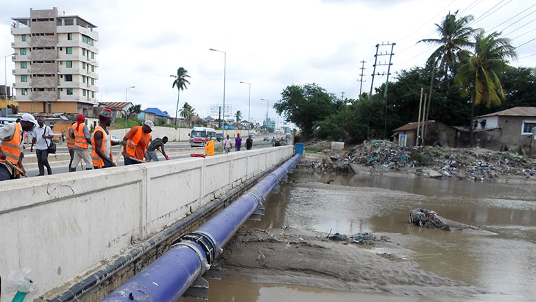
Additionally, a statistics report by Statista (an on-line portal providing data on the global economy), showed that in 2018 more than 58% of the urban population in East Africa lives in informal settlements, due to poor planning.[7] In Tanzania, slums cover about 70% of general land and are usually located in flood-prone areas.[8] Meanwhile in Kenya, the 2019 population census by the Kenya National Bureau of Statistics (KNBS) showed that an estimated 60% of people in urban areas live in slums. These settlements often lack adequate drainage infrastructure, making storm rainfall often turn into catastrophic floods, putting residents at risk. Moreover, the frequent water supply shortage in urban areas have led to extensive drilling of boreholes in almost all homesteads and high-rise apartments, causing groundwater levels to drop drastically. As a result, the aquifer gets compressed and this intensifies the weight of these buildings causing the ground level to subsidize, creating low lying places where water from rain collects. With 70% of the global population projected to live in urban areas by 2050, green areas will be filled with buildings and sidewalks, further exacerbating flooding events.[9]

Second, ineffective early warning systems continue to pose a challenge in management and dissemination of prompt response to flood-risk communities in Kenya and Tanzania. The Kenya Meteorological Department (KMD) and the Tanzania Meteorological Authority (TMA), are at the forefront in providing flood forecasts and warnings, to alert government authorities, communities, and humanitarian organizations about potential climate extremes. Additionally the Kenya National Disaster Operations Centre (KNDOC) and the Tanzania Disaster Management Department (TDMD) are the main government agencies mandated with coordinating emergency responses as well as mobilizing national resources in addressing flood events. These agencies partner with local and international humanitarian organizations, Non-Governmental Organizations (NGOs), and other relevant stakeholders in enhancing response to flood emergencies. However, despite these capabilities being in place, several factors hinder their effectiveness in both countries. They lack infrastructural support, adequate funding, and resources to enhance their monitoring and early warning capacities, making it hard to collect real-time data and issue prompt alerts.[10] Additionally, institutional capacity constraints and bureaucratic processes in government agencies make it hard for proactive implementation of timely flood management strategies. Further, the reactive nature of governments in the EA region in responding to early alerts by relevant agencies as opposed to being proactive, continue to undermine the effectiveness of early warning systems for flood mitigation. For instance, the occurrence of El Nino late last year was predicted at least a year before it occurred, yet no precautionary measures were taken. This shows lack of preparedness by governments, which is mostly influenced by economic and political priorities, where flood infrastructure and risk reduction strategies are being deprioritized in favour of other initiatives. The short-term approach of addressing disasters by governments leaves communities at risk of recurrent destructive floods with negative socio-economic consequences.

Moving forward, addressing highlighted challenges requires a multidimensional approach integrating infrastructure development, land-use planning as well as improved flood preparedness and timely response strategies.
In this regard, there is need for strict enforcement of construction standards, zoning laws, and flood management regulations through holding all developers (whether in informal settlements or high-rise apartments) accountable. Moreover, there is also need for harmonized and clear laws on management of riparian lands to ensure everyone adheres to uniform standards and regulations. A comprehensive or unifying policy is also needed to effectively address conservation of riparian zones. Secondly, both Kenya and Tanzania should prioritize investments in flood-resilient urban infrastructure, including green spaces and proper drainage systems, to reduce flooding risks. This should be done through resource mobilization and enhanced partnerships between government agencies, international humanitarian partners, local communities, and relevant NGOs.
Thirdly, adequate funding, institutional capacity, and infrastructure are required to enhance the effectiveness of early warning systems. Finally, both governments need to shift from reactive to proactive approaches with regard to flood prevention and management strategies. They also need to prioritize long-term resilience building initiatives, since flood occurrences are becoming more frequent in the region.
2.0 References
[1] OCHA: 2024 Eastern Africa: Heavy rains and flooding Flash Update #2
[2] IFRC: May 2024 EMERGENCY APPEAL Kenya, Africa | El Niño Floods 2023-24
[3] OCHA: Eastern Africa: El Niño Impact Snapshot (December 2023)
[4] The East African: Kenya’s devastating floods expose decades of poor urban planning, bad land management – May 2024
[5] 2023 Statista Market Forecast: Real Estate – Kenya; 2023 Statista Market Forecast: Real Estate – Tanzania
[6] THE UNITED REPUBLIC OF TANZANIA: MARA WETLANDS INTEGRATED MANAGEMENT PLAN 2018 – 2022
[7] Statista: Share of urban population living in slums in East Africa as of 2018, by country
[8] The Citizen Tanzania: How urban planning, drainage inadequacies fuel flooding- April 2024
[9] 2023 Factsheets – UN-Habitat
[10] Citizen Digital: Tackling Disaster During Rainy Season Needs Combined Efforts- May 2024
